


Alabama Hills
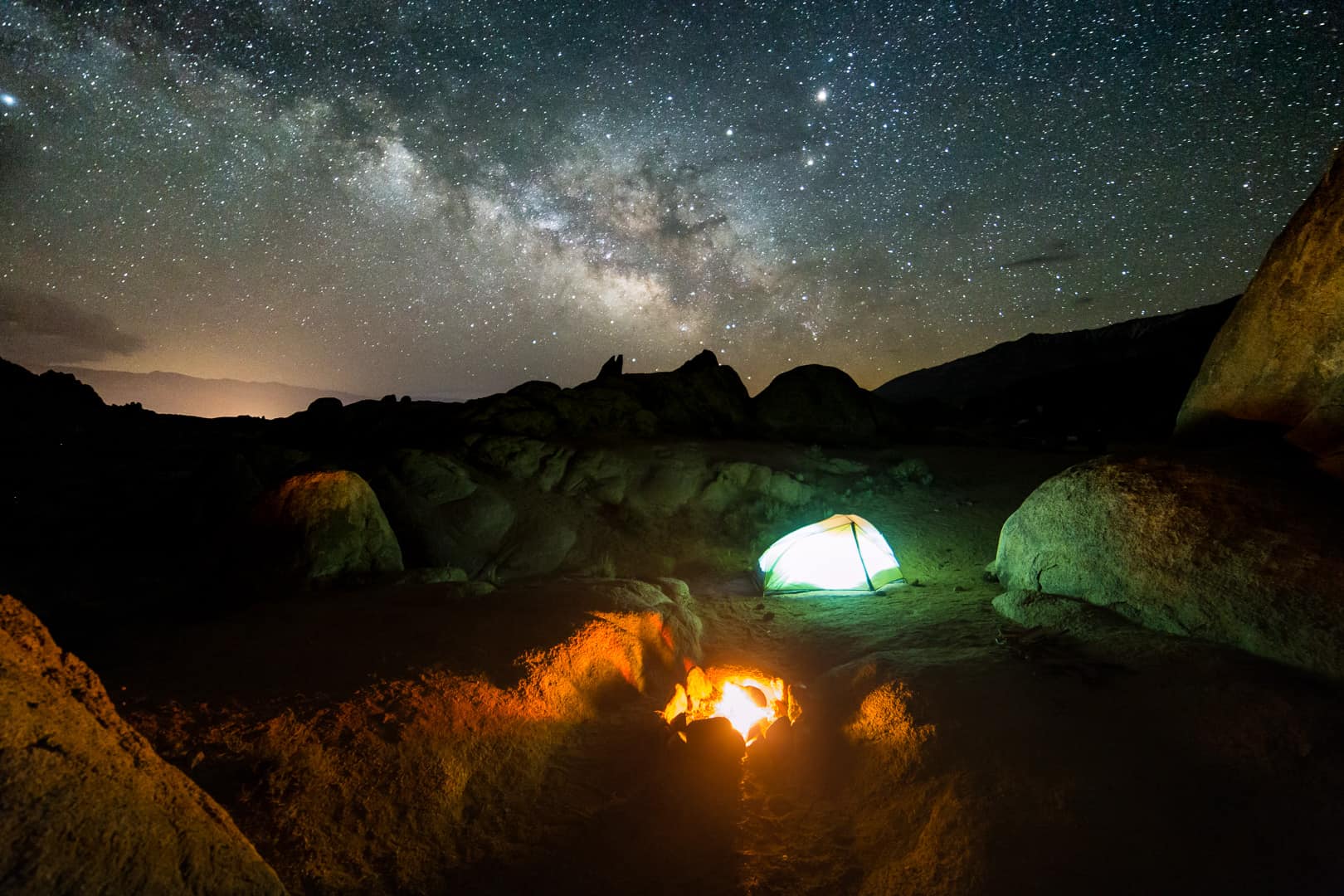
Nestled at the bottom of one of the deepest and steepest valleys in the world, the gnarly, weathered boulders that form the Alabama Hills lay stacked and scattered beneath the jagged Sierra Crest. Dozens of unique campsites are tucked amongst this dramatic terrain cherished by climbers, boondockers and cyclists. You’ll be hard-pressed to find a better place to gather with friends around a campfire to watch the world turn beneath the stars.


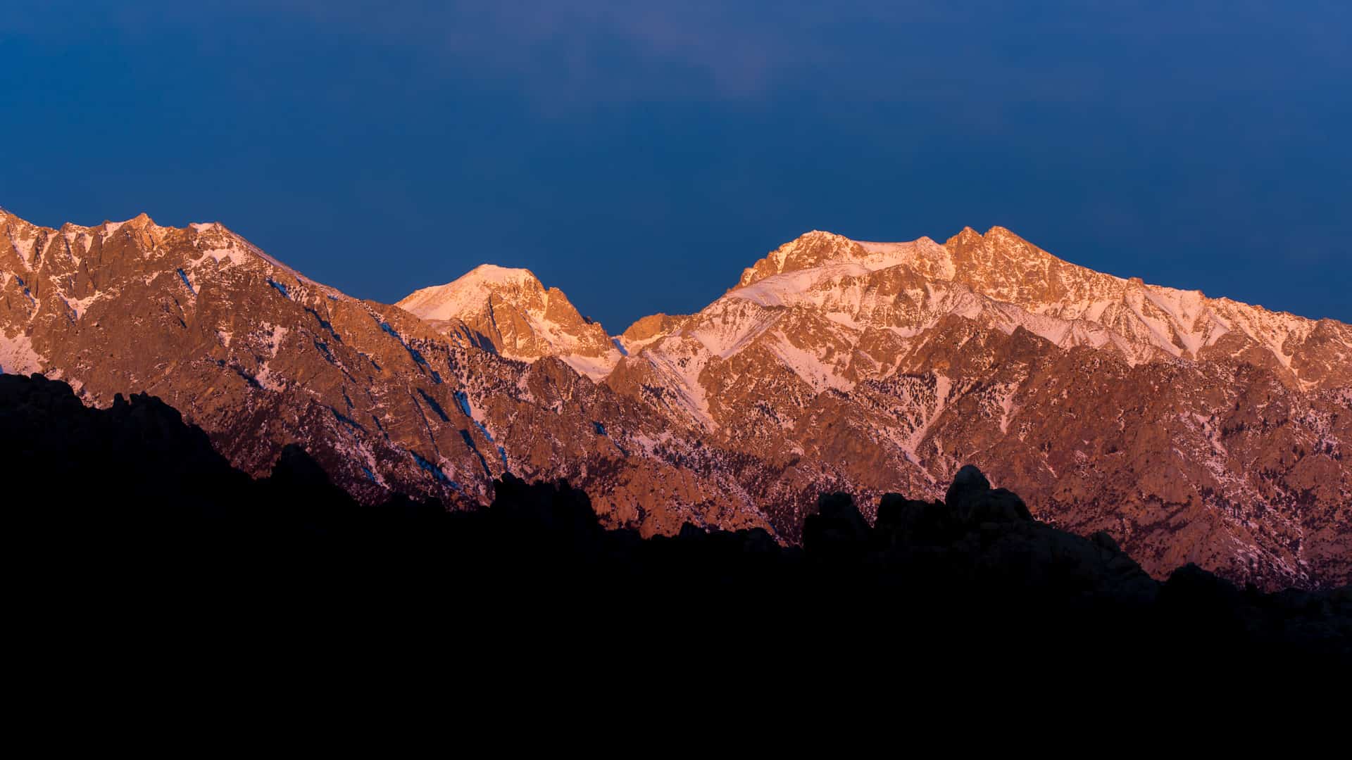
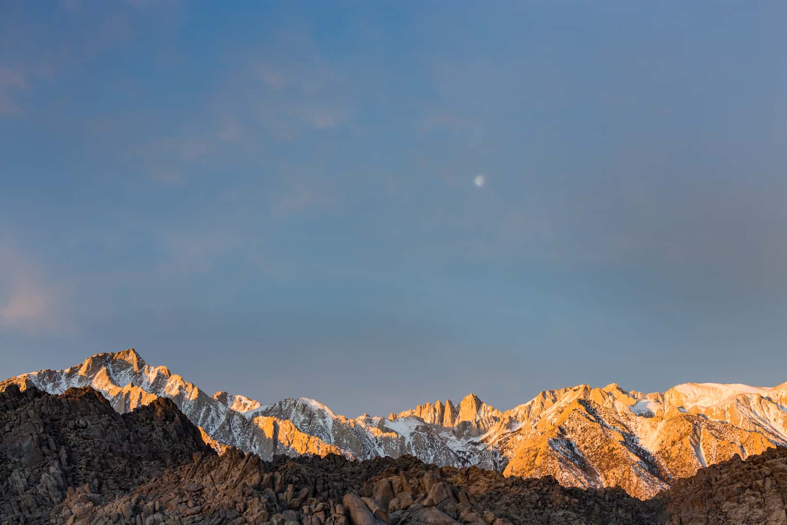
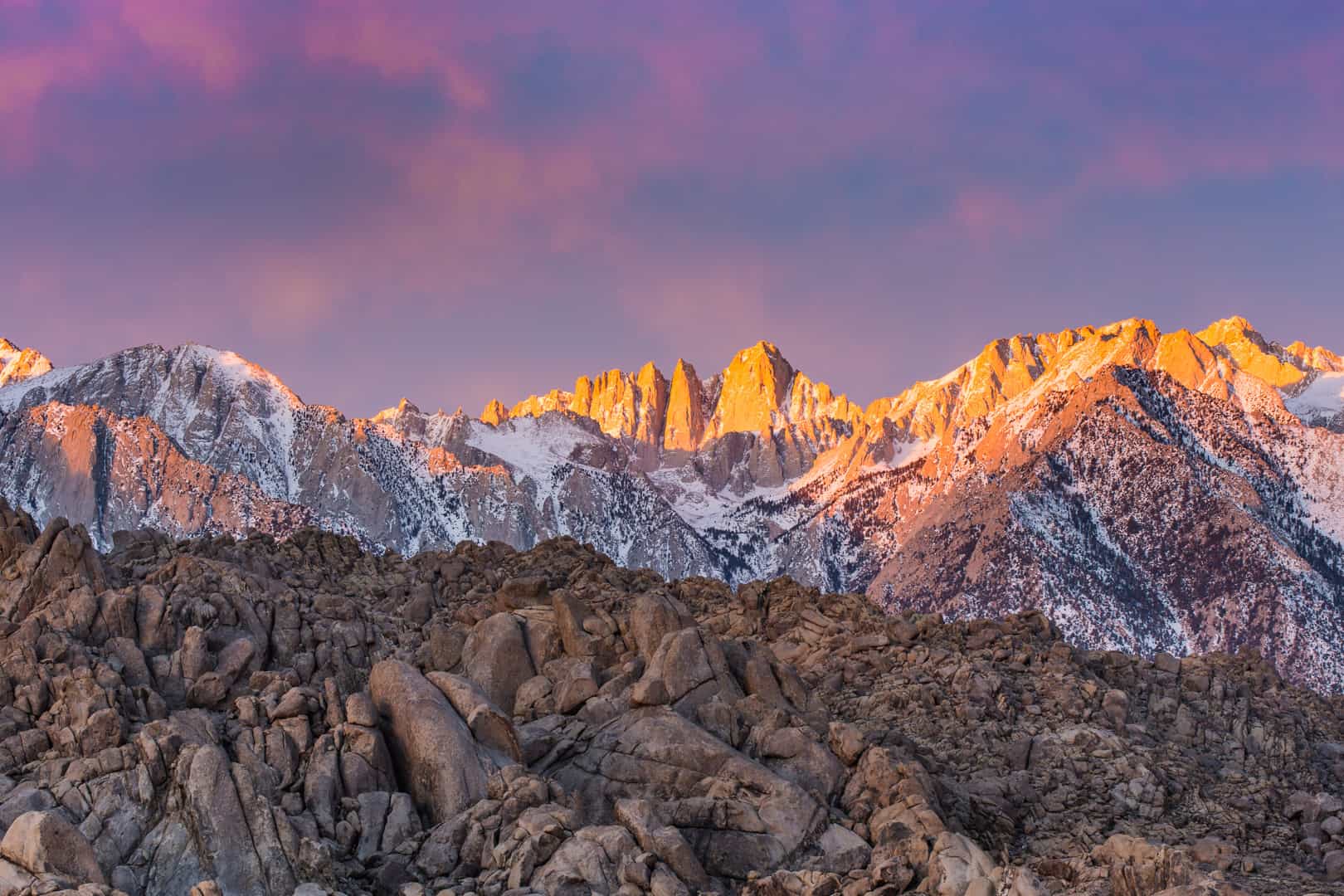
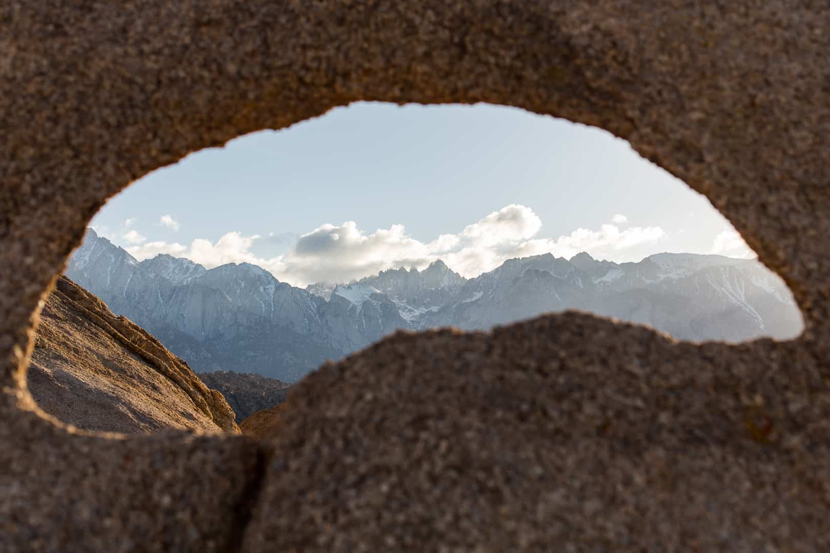
In Mount Whitney’s Shadow

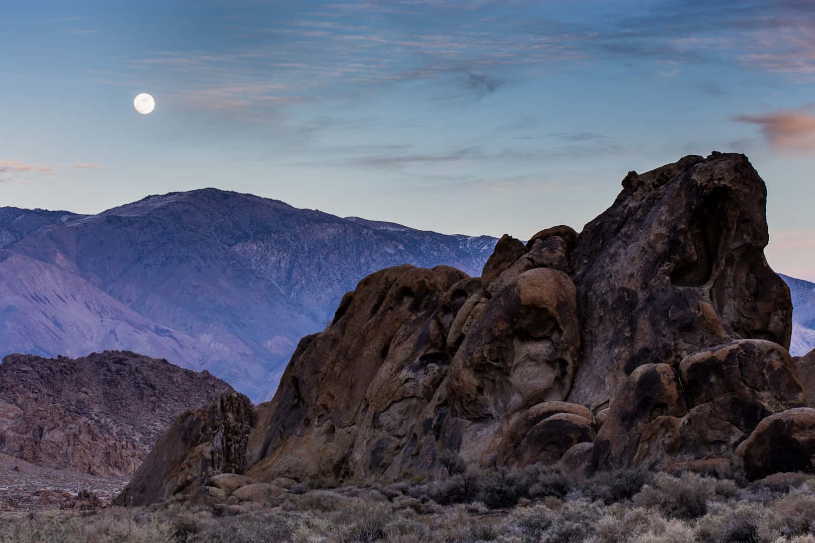
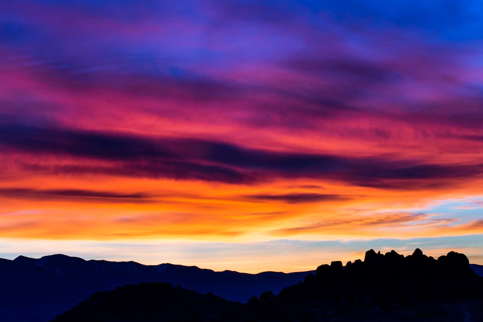
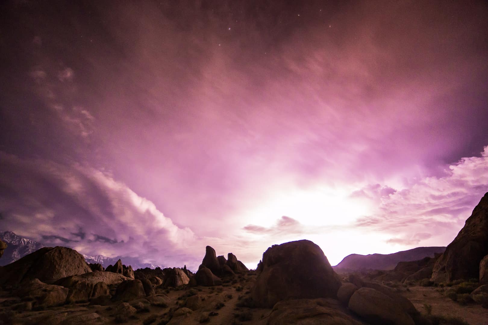
The Hills at Night


In Mount Whitney’s Shadow
The Hills at Night
Directions to the Alabama Hills
Related Organizations
Friends of the Inyo

Eastern Sierra Interpretive Association
Eastern Sierra Land Trust
Eastern Sierra Land Trust works with willing landowners to protect vital lands in the Eastern Sierra region for their scenic, agricultural, natural, recreational, historical, and watershed values. By partnering with forward-thinking landowners, agencies, and conservation supporters, they work with their community to conserve the Eastern Sierra for the future.