
Sierra Nevada Mountains
Welcome to the Sierra Nevada Mountains. This is the high country, the fabled Range of Light, the jagged backbone of California, a precious source of water and unfathomable amounts of wilderness. In a world where commerce is relentlessly encroaching upon nature, this 400 mile-long mountain range is a rare paradise, and without a doubt, the Golden State’s grandest landscape. Come here to recreate, to gawk in awe, and to be moved spiritually; just make sure to bring respect and deference. As beautiful, rugged, and immovable as the High Sierra may seem, this is a vanishing world slowly succumbing to climate change and overuse.
FAQ
Where are the Sierra Nevada mountains? 📍
The Sierra Nevada runs along California’s eastern border for much of the state’s length, creating a massive, snow-capped wall of granite between the Central Valley to the west and the Great Basin to the east. It’s northern-most point is in the Lassen area, while it’s southern terminus touches the Mojave Desert near Tehachapi Pass and Red Rock Canyon State Park.
What is the elevation of the Sierra Nevada? 🏔️
The highest mountains are in the heart of the range, which reaches 14,505 feet atop Mount Whitney. Much of the rest of the Sierra Nevada is in the 6,000- to 14,000-foot range, with between 7,000 and 11,000 feet being a pretty common elevation for things like backpacking, hiking, climbing, and trail running. If you’re not used to altitudes like these, take a couple days to acclimate before heading into the backcountry.
What’s the weather like in the Sierra Nevada? ⛈️
In a word? Extreme. One minute, you’ll be roasting in the high country sun; the next, you step into the shade (if there is any) just as a cool breeze passes on through and you’re chilled to the bone. Thunderstorms, forming out of the apparent void of endless blue skies, unleash dangerous lightning and hail. Snow storms are always possible, especially during shoulder seasons. It’s usually warm during the day; cold at night. That’s the High Sierra. Make sure you come prepared.
Explore the Sierra Nevada
Take a deep dive into some of the High Sierra’s most beautiful landscapes.
Ansel Adams Wilderness
Ansel Adams Wilderness is home to one of the most scenic sections of the John Muir and Pacific Coast Trails and some of the most beautiful and cherished high country in California.
Desolation Wilderness
Hiding in the mountains around Lake Tahoe, Desolation Wilderness is an alpine landscape scoured by ancient glaciers and punished over and over by heavy winds and snow.
Fishing the Sierra Nevada
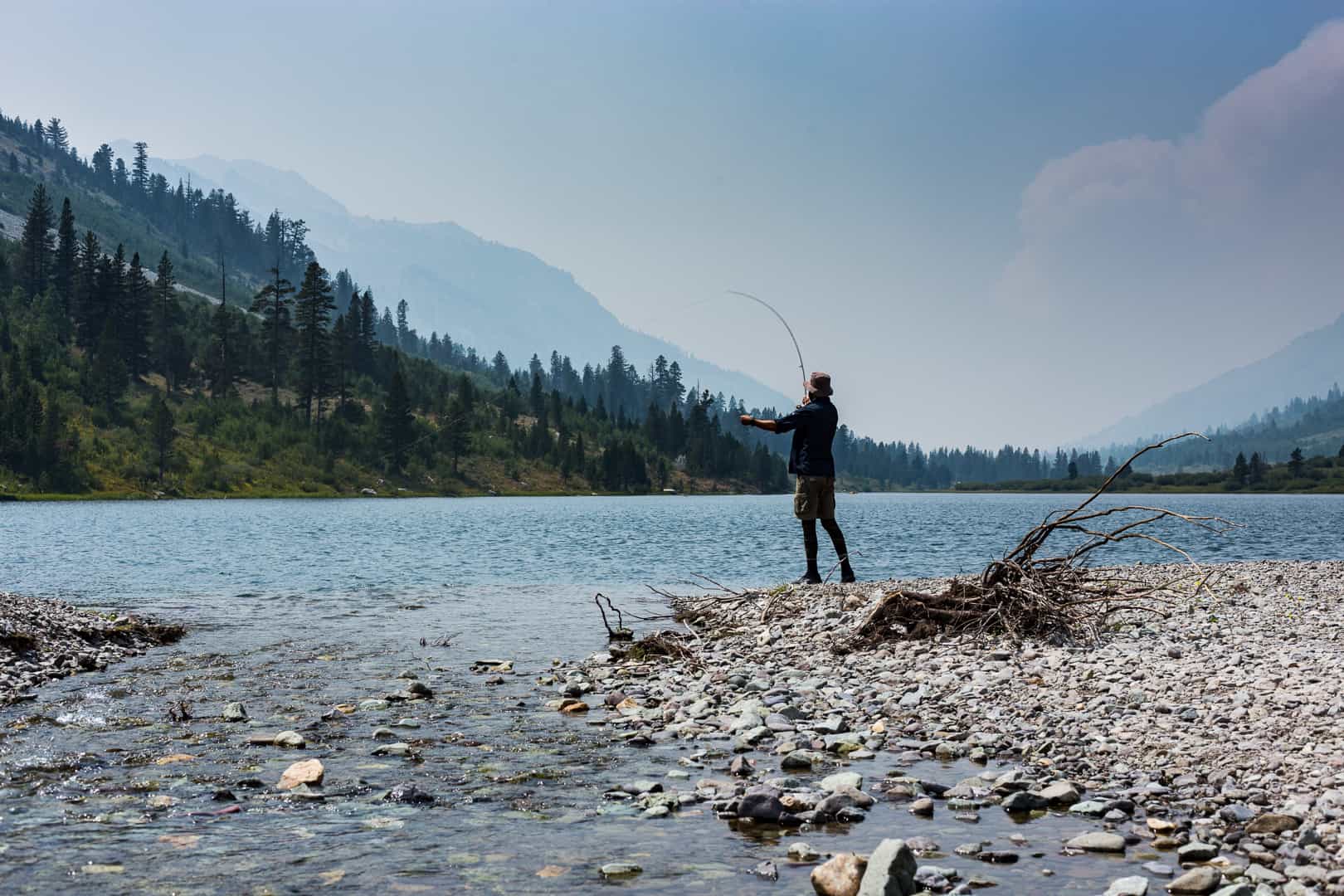
These beautiful mountains harbor thousands of sparkling alpine lakes, tumbling creeks, and meandering rivers. Not all these waters contain fish, but those that do offer an opportunity to cast to eager trout.
Photo Essay
BBQ’d Brown Trout with a Side of Wildfire
A brown trout is caught, cleaned and cooked to perfection in the Emigrant Wilderness backcountry in California’s Sierra Nevada.
FAQ
What is a Sierra Wave?
Just one of the raddest clouds you’ll ever see. A Sierra Wave is actually a lenticular cloud, which forms in the Eastern Sierra when winds race up the western slope of the mountains, causing moisture to condense above the peaks. They can hover there for hours, like huge UFOs, and when a chain forms, it’s particularly arresting.
Fact
Source: A low-to-no snow future and its impacts on water resources in the western United States, Nature, November 2021.
Backpacking, Camping, and Hiking in the Sierra Nevada Mountains
The high country, it seems, is in high demand. Record visitation, spurred by the coronavirus pandemic, has left these beautiful mountains reeling. Please do come and experience this place, just tread softly and with love.


Tips for Planning a Trip to the Sierra Nevada
Follow these pointers and you’re guaranteed to have a better trip.
1
Make a reservation or other plans
Campgrounds fill up fast in the summer, with many folks securing reservations months ahead of time. Campgrounds that are first-come, first-served are busy enough that you can’t count on them, either, especially if you’re rolling in at 10 pm on a Friday.
2
Know the laws and rules
It’s you’re responsibility to look up the rules and regulations that govern wherever you happen to be camping or hiking. Land management across the Sierra Nevada is complex, so a little pre-trip research may be required.
3
Check fire regulations
Fire restrictions in California are the new normal, especially during peak camping season. The U.S. Forest Service manages these restrictions, so check which national forest you’ll be in, then visit the government website for that forest to see if there are any restrictions.
4
Get a permit
Wilderness permits are required for backpacking in the Sierra Nevada; campfire permits are necessary for having fires in the backcountry or while dispersed camping. These are not a formality. Rangers will check to make sure you’ve obtained one.
5
Don’t be an asshole
Trash and toilet paper strewn about; illegal campfires; vandalism; and general douchebagery—it’s all going down in the Sierra Nevada. Please don’t add to the mess. Instead, help clean it up and kindly call out folks who are doing no good.
FAQ
What is the highest point in the Sierra Nevada mountains?
At 14,505 feet, not only is Mount Whitney the highest point in the Sierra Nevada, it’s also the highest point in California and America’s lower 48 states. This spectacular peak rises above the Owens Valley in the central Sierra near Lone Pine and the Alabama Hills.
Recommended Reading
The Laws Field Guide to the Sierra Nevada
Lovers of the high country who’d like to identify and learn more about the Sierra Nevada’s wildflowers, fungi, trees, birds, insects, and animals will cherish this handy guide. It’s insanely comprehensive, beautifully illustrated, and worth keeping in your glove compartment when visting, camping, or driving through the area. Consider the Kindle version if you’re itching to bring this book with you on backpacking trips.


